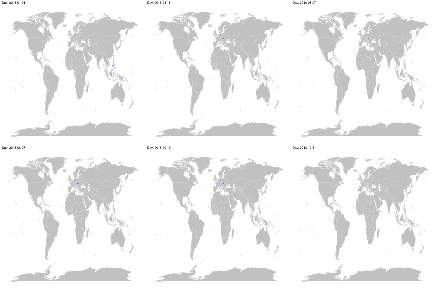
Where I was in 2018
I spent a lot of time this year on the road. I started 2018 on a tropical beach in the Phillipines and ended it in Lisbon, with a lot of trips in between. Given that I spent a good part of this year playing around with maps for my thesis, I thought it would be fun to use my Google Location Services data to animate my movement this year. Here is the result:

How did I make this animation?
First, I download my Location History using Google Takeout. Then, I extracted the relevant data from the resulting JSON file using this code in R:
path <- "H.json"

# read Google's JSON file
full<-jsonlite::fromJSON(path)

# extracting the locations dataframe
loc <- full$locations

# converting time column from posix milliseconds into a readable time scale
loc$time <- as.POSIXct(as.numeric(loc$timestampMs)/1000, origin = "1970-01-01")

# converting longitude and latitude from E7 to GPS coordinates
loc$lat <- loc$latitudeE7 / 1e7
loc$lon <- loc$longitudeE7 / 1e7
Subsequently, I summarised the data a little bit, filling in missing data using my calendar (my phone was broken for a month or so and didn’t record any GPS measurements).
library(ggplot2)
library(dplyr)
library(gganimate)
library(tibbletime)
library(padr)

locByDay <- loc  %>%
  select(lat, lon, time) %>%
  as_tbl_time(index = time) %>%
  arrange(time) %>%
  filter_time(~'2018' ) %>%  #filter to 2018
  thicken(interval = "day",colname = "Day") %>%  # get each day out of the timestamp
  group_by(Day) %>%
  summarise(lat = mean(lat), # take the mean lattitude and longitude measurements for each day
            lon = mean(lon)) %>%
  pad(interval = "day") %>%  # get the missing days
  mutate( # this is the missing data I am filling in manually.
    lat = case_when(
    (Day >=as.Date("2018-07-17") & Day <= as.Date("2018-08-16"))~47.47387, #Budapest
    (Day >=as.Date("2018-08-17") & Day <= as.Date("2018-08-19"))~58.7572544, #Nykoping
    (Day >=as.Date("2018-08-20") & Day <= as.Date("2018-08-21"))~59.8939529, #Oslo
    (Day >=as.Date("2018-08-22") & Day <= as.Date("2018-09-15"))~47.47387, #Budapest
    TRUE ~lat
  ),
    lon = case_when(
    (Day >=as.Date("2018-07-17") & Day <= as.Date("2018-08-16"))~19.04439032, #Budapest
    (Day >=as.Date("2018-08-17") & Day <= as.Date("2018-08-19"))~16.9723206, #Nykoping
    (Day >=as.Date("2018-08-20") & Day <= as.Date("2018-08-21"))~10.6450339, #Oslo
    (Day >=as.Date("2018-08-22") & Day <= as.Date("2018-09-15"))~10.6450339, #Budapest
    TRUE ~lon
  )
  )
Finally, I animated it using gganimate:
world <- ggplot() +
  borders("world", colour = "gray85", fill = "gray80") +
  theme_map()

me2018 <- world +
  geom_point(aes(x = lon, y = lat),
             data = locByDay,
             colour = 'purple', alpha = .5
             )+
  transition_time(Day) +
  ease_aes('linear')+
  labs(title = 'Day: {frame_time}')

anim <- animate(me2018,width = 500,height = 500,nframes=365)

anim_save("me2018.gif")